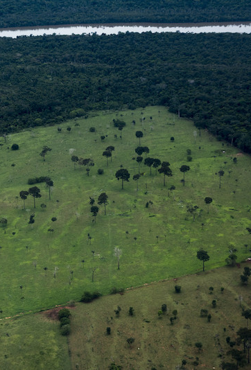
RAISG generated a collection of annual maps of the Amazon. This document presents an analysis of annual deforestation for the period 2000-2018. The mapped area covers not only the forests of the Biome or the Amazon Region, but also the forest formations of the Andean region on the side of the Atlantic slope of Bolivia, Ecuador and Peru, corresponding to the headwaters or springs of the Amazon basin. It also includes the Cerrado and Pantanal in Brazil and the Tucumano-Boliviano and Chaco-Chiquitano in Bolivia.
(PDF in Spanish)

